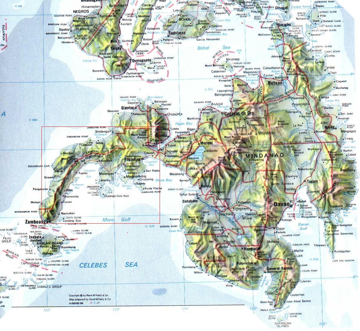
Mindanao Island: Some Figures And Facts
Mindanao is the second largest island in the Philippines and the is located in the very south of the archipelago. More precise, it lays between the Sulu Sea in the west and the Philippine Sea in the east. Together with the big islands in the north, which is the Visayas and Luzon, Mindanao builds up the group of islands in the Philippines.

With an area of about 95.581 square kilometers, Mindanao is the second largest Philippines Island after Luzon. The both islands together comprise about two thirds of the country area and about 70% of the population is based here. Mindanao has about 15 million inhabitants. The capital city is Davao City near Mount Apo, with a height of about 2.954 m what makes it the highest mountain in the country.
Davao City is said to be the largest city in the world – at least by square footage. Besides Mount Apo, you could also find Mount Sumagaya. The following islands belong to Mindanao: Mindanao, the Sulu archipelago (with Basilan, Jolo and Tawi-Tawi), Camiguin, Dinagat, Siargao, Samal Island and Sarangani Islands.
The regions of Mindanao are divided into provinces:
Region IX (Zamboanga Peninsula): Zamboanga del Norte, Zamboanga del Sur, Zamboanga Sibugay
Region X (Northern Mindanao): Camiguin, Misamis Occidental, Misamis Oriental, Bukidnon, Lanao del Norte
Region XI (Davao Region): Compostela Valley, Davao del Norte, Davao del Sur, Davao Oriental
Region XII (SOCCSKSARGEN): South Cotabato, Cotabato, Sultan Kudarat, Sarangani
Region XIII (Caraga): Agusan del Norte, Agusan del Sur, Dinagat Islands, Surigao del Norte, Surigao del Sur
The provinces of Maguindanao, Shariff Kabunsuan and Lanao del Sur belong to the ARMM (Autonomous Region in Muslim Mindanao), which was built in 1989. Basilan, Sulu und Tawi-Tawi are also part of it.


0 (mga) komento:
Mag-post ng isang Komento